NC Sparks writes about the state parks of North Carolina, one place at a time, from the highest ground in the eastern United States to a barrier island that will not hold still.
The range is the reason the site exists. Mount Mitchell stands at 6,684 feet by the U.S. Geological Survey; about four hundred miles east, Jockey's Ridge is a bare sand dune that has been measured getting shorter since the 1970s. Between them the rock changes from amphibolite to granite to quartzite to sand, and the plant lists, the rivers and the weather change with it.
The writing is organised into six sections — the mountains, the gorges, the coast, the rivers, what lives here, and the histories of the people who measured the place and built the paths through it. Every guide is about something specific enough to look up: a named peak, a named river, a dated survey, a plant with a range of about ninety miles.
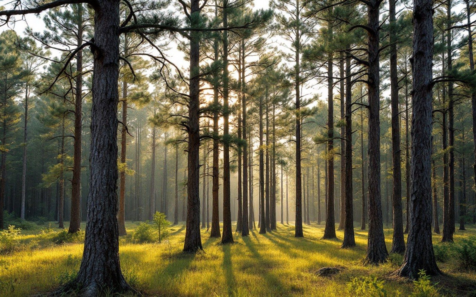
Measurements on this site are attributed to the survey, agency or study they come from. Where a photograph shows a named place, the credit sits under the caption.